ORE TRACE · PLATFORM v2
Home // PRODUCTS / STOPE MAP

Stope Map

Underground face mapping and data tracking platform

The shortest path from a face photograph to tonnage.

§ 01 Overview Stope Map

Underground, the most expensive thing is not being able to go back and look again. Once a face is blasted and supported, the geology you saw in that section is gone; all that remains is the record you took on that shift.

Stope Map turns that record into a measurable data layer. You trace the face boundary, scale it over a known distance and tie it to real mine coordinates with at least three control points. From that moment every line on screen is metres, every polygon m², every point an X/Y/Z.

KEY CAPABILITIES
checkLayer-based lithology, contact and structural mapping — with bulk density (t/m³)
checkChannel sampling: the line intersects lithology and contact-snapped intervals are generated
checkQAQC — blanks, duplicates and CRMs; z-scores, RPD and Shewhart control charts
checkPrismoidal volume, tonnage and tonnage-weighted average grade
check7 mining string formats + GeoTIFF + print-ready PDF face report
§ 02 Screens 01 / 10

§ 03 KEY CAPABILITIES 08 ITEMS
photo_camera
From photograph to scaled map 01

Trace the boundary, scale with two points, tie to coordinates with three. After that: metres, m² and X/Y/Z.

layers
Layer-based mapping 02

Lithology, contact and structure layers with colour, line style and bulk density. Lenses are punched out and areas correct themselves.

explore
Discontinuity and structural logging 03

A compass-measured orientation is never confused with a trace-derived one; without georeferencing the value is labelled “apparent dip”.

radar
Stereonet and kinematic analysis 04

Equal-area projection, contour density, Bingham eigenanalysis, Fisher statistics and the Markland kinematic test.

straighten
Channel sampling, auto intervals 05

Draw the line and let the app intersect mapped lithology to produce contact-snapped intervals. Dip and azimuth derive from coordinates.

verified
QAQC — CRM, blank, duplicate 06

Paste and parse certificate text. ±2SD / ±3SD assessment, RPD and a separate Shewhart chart per element.

gradient
Grade distribution map 07

1/d² inverse-distance interpolation never crosses lithological boundaries; cells outside the search radius stay empty — absent data is not coloured in.

download
Output in mining formats 08

Datamine .asc, Micromine .str, MineSight .srg, Surpac .str, Leapfrog .lfpl; georeferenced GeoTIFF; the four-file sampling CSV set.

§ 04 SPECIFICATION REV. 2026.08 · SM
Georeferencing
Least-squares affine transform · ≥3 GCPs
Volume
Prismoidal · V = L(A₁+A₂+√A₁A₂)/3
Grade
1/d² inverse distance · constrained to lithological domains
Structural plane
SVD fit · RMS residual + planarity score
Stereonet
Equal area · Bingham + Fisher · Markland
Rock mass
RQD · Q · RMR89 · GSI · 25-column CSV
Coordinates
EPSG defined · UTM
String export
Datamine .asc · Micromine .str · MineSight .srg · Surpac .str · Leapfrog .lfpl
Other export
DXF · OBJ · georeferenced GeoTIFF · print-ready PDF
Audit
Append-only trail · NI 43-101 / JORC defensibility
Runtime
PWA · libraries local · offline write queue
§ 05 WHO IT IS FOR 06 ITEMS
01 Underground production geologist

One flow from face photo to scaled map, sampling and report

02 Grade control officer

Domain-constrained grade map, dilution calculation, in-situ versus diluted grade

03 Geotechnical engineer

RQD·Q·RMR89·GSI on one screen, stereonet and Markland kinematic test

04 Short-term planning

Advance, prismoidal volume, tonnage and trends per drive

05 Resource geologist

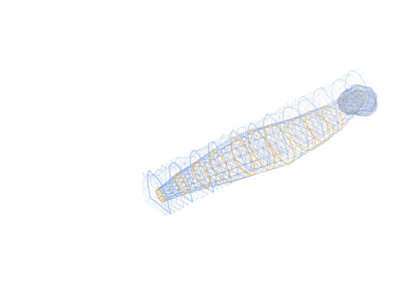
Solid lithological bodies lofted from observed contacts (OBJ / DXF)

06 Independent reviewer

Append-only audit log, face edit history, orientation provenance labels

§ 06 PLANS Stope Map

Plans and pricing

infoThese prices cover Stope Map only. Other products are licensed separately.
DEMO
Free
7-day trial
checkUnlimited projects and mapping
checkPDF / Excel export
check3D visualisation
checkEmail support
Request a demo
MONTHLY
$ —
30 days of access
checkUnlimited projects and mapping
checkPDF / Excel export
check3D visualisation
checkEmail support
Coming soon
ANNUAL
Most popular
$ —
365 days of access
%30 CHEAPER
checkUnlimited projects and mapping
checkPDF / Excel export
check3D visualisation
checkEmail support
Coming soon
Additional user seat

Add as many seats to the licence as you need; each seat holder signs into the same workspace with their own account.

$999 / seat / year
Buy an extra seat
Try it before you decide.

Seven days, no install, no credit card. The moment your demo licence is approved, the app opens in your panel.

Start a free demo